Station Road, Ryhope
Introduction
The photograph on this page of Station Road, Ryhope by Malc McDonald as part of the Geograph project.
The Geograph project started in 2005 with the aim of publishing, organising and preserving representative images for every square kilometre of Great Britain, Ireland and the Isle of Man.

There are currently over 7.5m images from over 14,400 individuals and you can help contribute to the project by visiting https://www.geograph.org.uk
Station Road, Ryhope
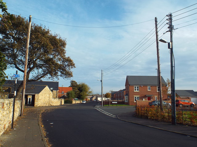
Image: © Malc McDonald Taken: 30 Oct 2016
Station Road in Ryhope, south of Sunderland. The station from which this road takes its name closed in 1953. The small blue sign to the left of the image indicates that this road is on the route of National Cycle Network (NCN) route 1.
Images are licensed for reuse under creativecommons.org/licenses/by-sa/2.0
Image Location
Latitude
54.868382
Longitude
-1.360665