Cycle routes directions sign on a Gloucester corner
Introduction
The photograph on this page of Cycle routes directions sign on a Gloucester corner by Jaggery as part of the Geograph project.
The Geograph project started in 2005 with the aim of publishing, organising and preserving representative images for every square kilometre of Great Britain, Ireland and the Isle of Man.

There are currently over 7.5m images from over 14,400 individuals and you can help contribute to the project by visiting https://www.geograph.org.uk
Cycle routes directions sign on a Gloucester corner
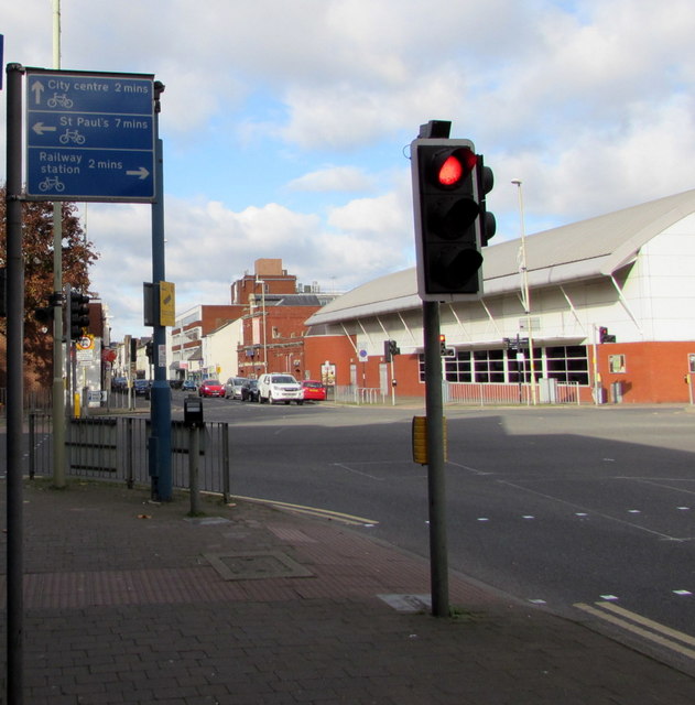
Image: © Jaggery Taken: 6 Nov 2016
Facing Barton Street on the corner of the A430. The sign shows the number of minutes the average cyclist should take to reach the town centre, railway station and St Paul's.
Images are licensed for reuse under creativecommons.org/licenses/by-sa/2.0
Image Location
Latitude
51.861421
Longitude
-2.238684