Stinchar Valley Haughland
Introduction
The photograph on this page of Stinchar Valley Haughland by Mary and Angus Hogg as part of the Geograph project.
The Geograph project started in 2005 with the aim of publishing, organising and preserving representative images for every square kilometre of Great Britain, Ireland and the Isle of Man.

There are currently over 7.5m images from over 14,400 individuals and you can help contribute to the project by visiting https://www.geograph.org.uk
Stinchar Valley Haughland
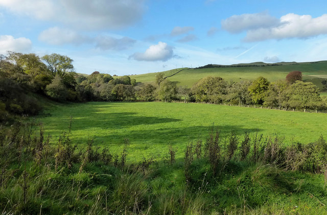
Image: © Mary and Angus Hogg Taken: 25 Oct 2016
A late-October view of the flood plain of the River Stinchar. The trees on the left are part of Lower Glenburnie Wood, while those on the right mark the course of the river.
Images are licensed for reuse under creativecommons.org/licenses/by-sa/2.0
Image Location
Latitude
55.175134
Longitude
-4.808743