The junction of Chapel Road and Betty's Hill Road
Introduction
The photograph on this page of The junction of Chapel Road and Betty's Hill Road by Eric Jones as part of the Geograph project.
The Geograph project started in 2005 with the aim of publishing, organising and preserving representative images for every square kilometre of Great Britain, Ireland and the Isle of Man.

There are currently over 7.5m images from over 14,400 individuals and you can help contribute to the project by visiting https://www.geograph.org.uk
The junction of Chapel Road and Betty's Hill Road
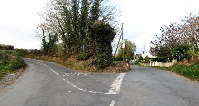
Image: © Eric Jones Taken: 7 Nov 2016
These are part of the cross roads with Greenan Road and Lower Carrogs Road. The buildings beyond, on Betty's Hill Road are those of the Ballyholland Primary School.
Images are licensed for reuse under creativecommons.org/licenses/by-sa/2.0
Image Location
Latitude
54.15259
Longitude
-6.293543