Ffordd Nant
Introduction
The photograph on this page of Ffordd Nant by Jonathan Wilkins as part of the Geograph project.
The Geograph project started in 2005 with the aim of publishing, organising and preserving representative images for every square kilometre of Great Britain, Ireland and the Isle of Man.

There are currently over 7.5m images from over 14,400 individuals and you can help contribute to the project by visiting https://www.geograph.org.uk
Ffordd Nant
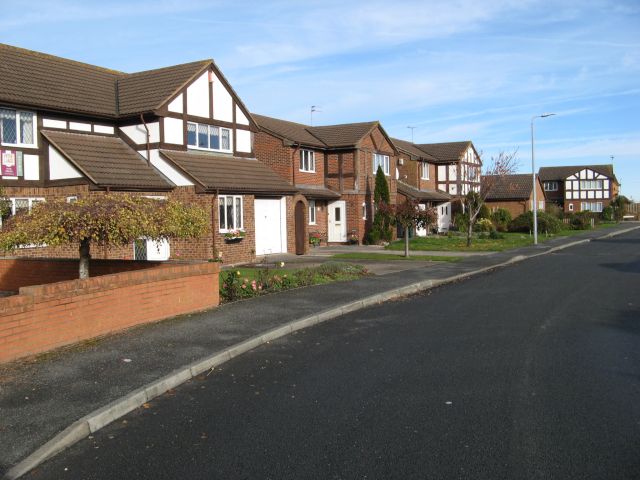
Image: © Jonathan Wilkins Taken: 11 Nov 2016
New housing pressing into the green of the morfa south of Kinmel Bay.
Images are licensed for reuse under creativecommons.org/licenses/by-sa/2.0
Image Location
Latitude
53.302091
Longitude
-3.508046