Pont Gwaithyrhaearn Farm, Upper Sirhowy Valley (2)
Introduction
The photograph on this page of Pont Gwaithyrhaearn Farm, Upper Sirhowy Valley (2) by M J Roscoe as part of the Geograph project.
The Geograph project started in 2005 with the aim of publishing, organising and preserving representative images for every square kilometre of Great Britain, Ireland and the Isle of Man.

There are currently over 7.5m images from over 14,400 individuals and you can help contribute to the project by visiting https://www.geograph.org.uk
Pont Gwaithyrhaearn Farm, Upper Sirhowy Valley (2)
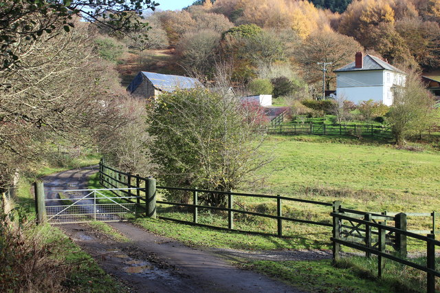
Image: © M J Roscoe Taken: 10 Nov 2016
Seen from near the bridge that gives its name to the farm; for a distant summer view of the farm, see Image On the hillside behind is part of Coed y Llanerch
Images are licensed for reuse under creativecommons.org/licenses/by-sa/2.0
Image Location
Latitude
51.731271
Longitude
-3.209451