Sirhowy Valley Walk, Pont Gwaithyrhaearn
Introduction
The photograph on this page of Sirhowy Valley Walk, Pont Gwaithyrhaearn by M J Roscoe as part of the Geograph project.
The Geograph project started in 2005 with the aim of publishing, organising and preserving representative images for every square kilometre of Great Britain, Ireland and the Isle of Man.

There are currently over 7.5m images from over 14,400 individuals and you can help contribute to the project by visiting https://www.geograph.org.uk
Sirhowy Valley Walk, Pont Gwaithyrhaearn
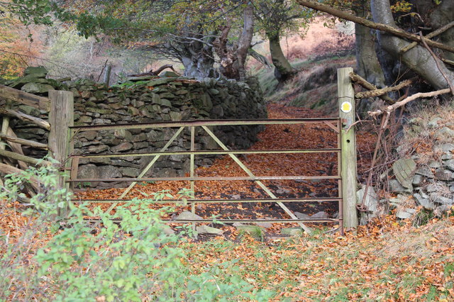
Image: © M J Roscoe Taken: 10 Nov 2016
The track is a public footpath, but the gate is locked! This part of the Walk is on the western alternative route through the Upper Sirhowy Valley Community Woodlands.
Images are licensed for reuse under creativecommons.org/licenses/by-sa/2.0
Image Location
Latitude
51.731733
Longitude
-3.208305