Entrance to Upper Sirhowy Valley Community Woodlands
Introduction
The photograph on this page of Entrance to Upper Sirhowy Valley Community Woodlands by M J Roscoe as part of the Geograph project.
The Geograph project started in 2005 with the aim of publishing, organising and preserving representative images for every square kilometre of Great Britain, Ireland and the Isle of Man.

There are currently over 7.5m images from over 14,400 individuals and you can help contribute to the project by visiting https://www.geograph.org.uk
Entrance to Upper Sirhowy Valley Community Woodlands
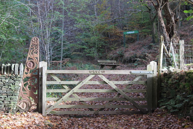
Image: © M J Roscoe Taken: 10 Nov 2016
Gated entrance on the Sirhowy Valley Walk (western alternative) Pontgwaithyrhaearn Farm; the iron sculpture and adjoining sandstone wall is characteristic of the main entrances to the Woodlands. Each sculpture portrays a different aspect of the area.
Images are licensed for reuse under creativecommons.org/licenses/by-sa/2.0
Image Location
Latitude
51.73174
Longitude
-3.207581