Eastern edge of Barnston Lays
Introduction
The photograph on this page of Eastern edge of Barnston Lays by Robin Webster as part of the Geograph project.
The Geograph project started in 2005 with the aim of publishing, organising and preserving representative images for every square kilometre of Great Britain, Ireland and the Isle of Man.

There are currently over 7.5m images from over 14,400 individuals and you can help contribute to the project by visiting https://www.geograph.org.uk
Eastern edge of Barnston Lays
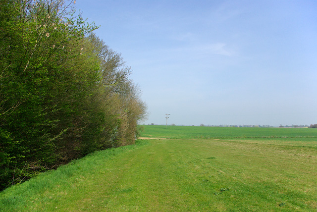
Image: © Robin Webster Taken: 14 Apr 2007
Garnetts Wood, which includes the eastern woodland called Barnston Lays, is owned by Essex CC and has public access with marked paths. This field margin is not one of them.
Images are licensed for reuse under creativecommons.org/licenses/by-sa/2.0
Image Location
Latitude
51.839283
Longitude
0.380679