Farmers Bridge top lock
Introduction
The photograph on this page of Farmers Bridge top lock by Robert Eva as part of the Geograph project.
The Geograph project started in 2005 with the aim of publishing, organising and preserving representative images for every square kilometre of Great Britain, Ireland and the Isle of Man.

There are currently over 7.5m images from over 14,400 individuals and you can help contribute to the project by visiting https://www.geograph.org.uk
Farmers Bridge top lock
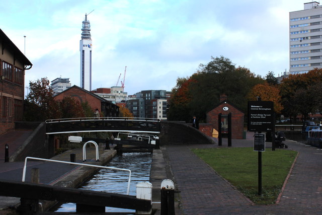
Image: © Robert Eva Taken: 26 Oct 2016
Cambrian Wharf at the Birmingham end of the Birmingham and Fazeley canal
Images are licensed for reuse under creativecommons.org/licenses/by-sa/2.0
Image Location
Latitude
52.482058
Longitude
-1.908368