Traffic on Griffiths Road [A530]
Introduction
The photograph on this page of Traffic on Griffiths Road [A530] by Christine Johnstone as part of the Geograph project.
The Geograph project started in 2005 with the aim of publishing, organising and preserving representative images for every square kilometre of Great Britain, Ireland and the Isle of Man.

There are currently over 7.5m images from over 14,400 individuals and you can help contribute to the project by visiting https://www.geograph.org.uk
Traffic on Griffiths Road [A530]
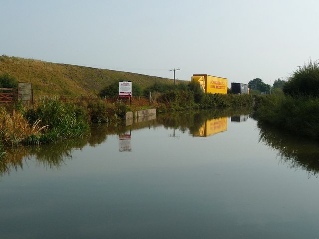
Image: © Christine Johnstone Taken: 15 Sep 2016
The road is squeezed between the Trent & Mersey Canal and a chemical industry bund. The sign announces that a small triangle of land just out of shot to the left [north] has been sold for housing development.
Images are licensed for reuse under creativecommons.org/licenses/by-sa/2.0
Image Location
Latitude
53.255844
Longitude
-2.476317