Himley Road Bridge
Introduction
The photograph on this page of Himley Road Bridge by Gordon Griffiths as part of the Geograph project.
The Geograph project started in 2005 with the aim of publishing, organising and preserving representative images for every square kilometre of Great Britain, Ireland and the Isle of Man.

There are currently over 7.5m images from over 14,400 individuals and you can help contribute to the project by visiting https://www.geograph.org.uk
Himley Road Bridge
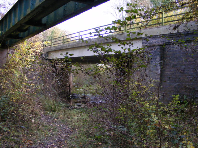
Image: © Gordon Griffiths Taken: 4 Nov 2016
The view of the bridge over old railway from Baggeridge Country Park which was the site of an old colliery. The line ran south from the Baggeridge Colliery (1899-1968) to join the former GWR railway (Wolverhampton to Stourbridge Junction Branch) near Home Farm.
Images are licensed for reuse under creativecommons.org/licenses/by-sa/2.0
Image Location
Latitude
52.520199
Longitude
-2.154258