Shell Brook, Knolton Wood
Introduction
The photograph on this page of Shell Brook, Knolton Wood by Geraint Roberts as part of the Geograph project.
The Geograph project started in 2005 with the aim of publishing, organising and preserving representative images for every square kilometre of Great Britain, Ireland and the Isle of Man.

There are currently over 7.5m images from over 14,400 individuals and you can help contribute to the project by visiting https://www.geograph.org.uk
Shell Brook, Knolton Wood
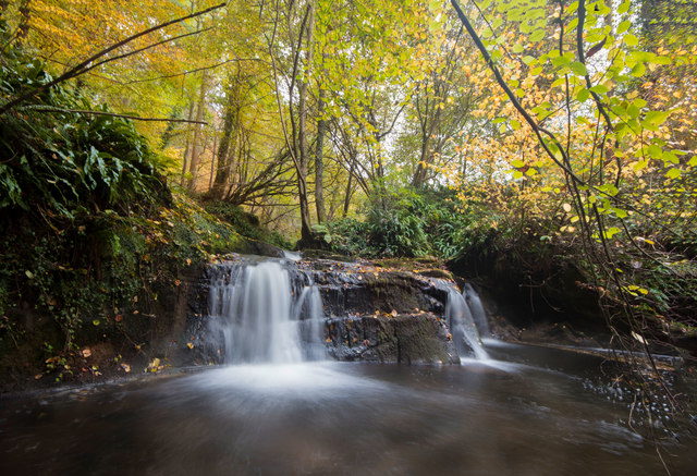
Image: © Geraint Roberts Taken: 7 Nov 2016
Just off the Wat's Dyke Way in Knolton Wood, the brook forms the boundary between England and Wales.
Images are licensed for reuse under creativecommons.org/licenses/by-sa/2.0
Image Location
Latitude
52.958463
Longitude
-2.968015