Cut Mark: Low Marnham, Bridge
Introduction
The photograph on this page of Cut Mark: Low Marnham, Bridge by Brian Westlake as part of the Geograph project.
The Geograph project started in 2005 with the aim of publishing, organising and preserving representative images for every square kilometre of Great Britain, Ireland and the Isle of Man.

There are currently over 7.5m images from over 14,400 individuals and you can help contribute to the project by visiting https://www.geograph.org.uk
Cut Mark: Low Marnham, Bridge
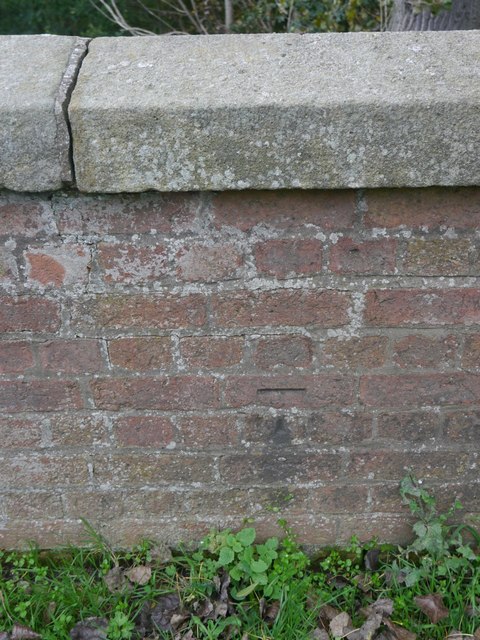
Image: © Brian Westlake Taken: 27 Oct 2016
The west parapet carries a cut bench mark. See http://www.geograph.org.uk/photo/5185066 for a wider view and http://www.bench-marks.org.uk/bm80126 for details.
Images are licensed for reuse under creativecommons.org/licenses/by-sa/2.0
Image Location
Latitude
53.219403
Longitude
-0.792686