Farmland and housing near Glyndyfrdwy in Denbighshire
Introduction
The photograph on this page of Farmland and housing near Glyndyfrdwy in Denbighshire by Roger D Kidd as part of the Geograph project.
The Geograph project started in 2005 with the aim of publishing, organising and preserving representative images for every square kilometre of Great Britain, Ireland and the Isle of Man.

There are currently over 7.5m images from over 14,400 individuals and you can help contribute to the project by visiting https://www.geograph.org.uk
Farmland and housing near Glyndyfrdwy in Denbighshire
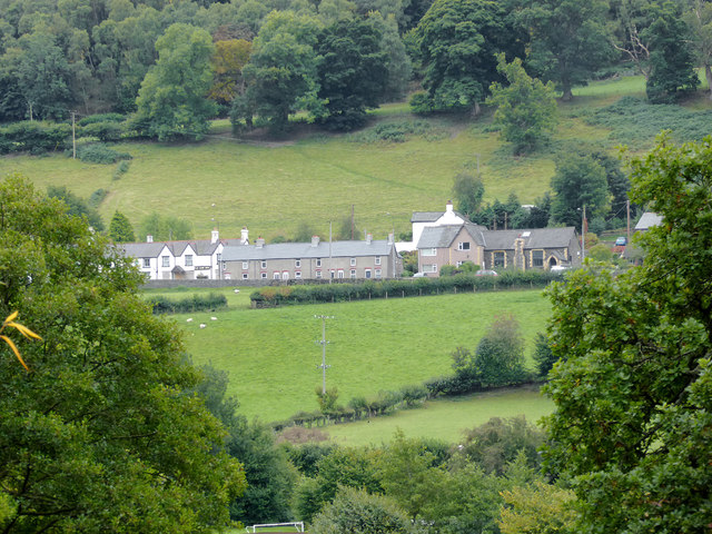
Image: © Roger D Kidd Taken: 20 Sep 2015
This is a telephoto assisted image obtained by looking south-south-east from the bridge crossing the River Dee. The housing is by the A5 road. The white building in the distant left is the Sun Inn.
Images are licensed for reuse under creativecommons.org/licenses/by-sa/2.0
Image Location


Leaflet Map data © OpenStreetMap
Latitude
52.974831
Longitude
-3.263997