The Bourne Stream Culvert Collapse 2014
Introduction
The photograph on this page of The Bourne Stream Culvert Collapse 2014 by Nigel Palmer as part of the Geograph project.
The Geograph project started in 2005 with the aim of publishing, organising and preserving representative images for every square kilometre of Great Britain, Ireland and the Isle of Man.

There are currently over 7.5m images from over 14,400 individuals and you can help contribute to the project by visiting https://www.geograph.org.uk
The Bourne Stream Culvert Collapse 2014
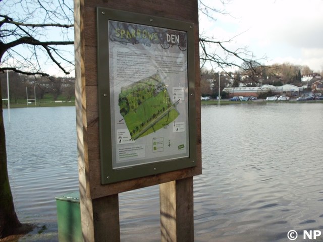
Image: © Nigel Palmer Taken: 1 Mar 2014
Culverted Thames Tributary the Bourne Stream collapsed at Sparrows Den causing months of localised flooding and traffic disruption to West Wickham Kent
Images are licensed for reuse under creativecommons.org/licenses/by-sa/2.0
Image Location
Latitude
51.368853
Longitude
-0.009597