Romford to Upminster line facing towards Upminster
Introduction
The photograph on this page of Romford to Upminster line facing towards Upminster by Phil Gaskin as part of the Geograph project.
The Geograph project started in 2005 with the aim of publishing, organising and preserving representative images for every square kilometre of Great Britain, Ireland and the Isle of Man.

There are currently over 7.5m images from over 14,400 individuals and you can help contribute to the project by visiting https://www.geograph.org.uk
Romford to Upminster line facing towards Upminster
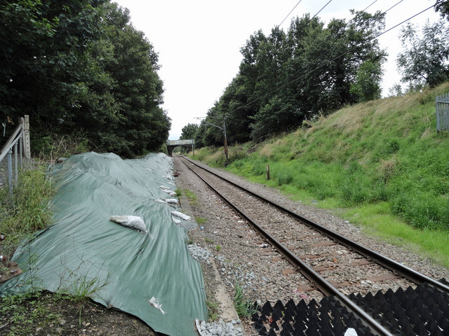
Image: © Phil Gaskin Taken: 4 Sep 2015
Taken from footpath 172 on the Woodhall Crescent side. The bridge in the distance is the road bridge on Wingletye Lane.
Images are licensed for reuse under creativecommons.org/licenses/by-sa/2.0
Image Location
Latitude
51.562786
Longitude
0.232453