Wetland near Partridge Lakes
Introduction
The photograph on this page of Wetland near Partridge Lakes by Bill Boaden as part of the Geograph project.
The Geograph project started in 2005 with the aim of publishing, organising and preserving representative images for every square kilometre of Great Britain, Ireland and the Isle of Man.

There are currently over 7.5m images from over 14,400 individuals and you can help contribute to the project by visiting https://www.geograph.org.uk
Wetland near Partridge Lakes
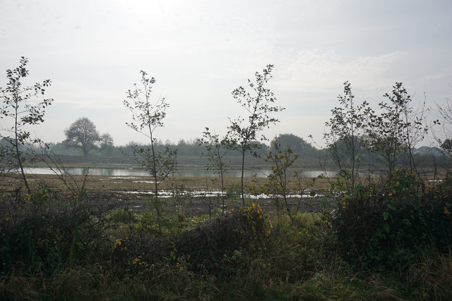
Image: © Bill Boaden Taken: 31 Oct 2016
Looking south from Glaziers Lane. Partridge Lakes Fishery is over to the right and I did not expect these fields to be looking so wet.
Images are licensed for reuse under creativecommons.org/licenses/by-sa/2.0
Image Location
Latitude
53.445371
Longitude
-2.529625