Approaching Marhamchurch
Introduction
The photograph on this page of Approaching Marhamchurch by Derek Harper as part of the Geograph project.
The Geograph project started in 2005 with the aim of publishing, organising and preserving representative images for every square kilometre of Great Britain, Ireland and the Isle of Man.

There are currently over 7.5m images from over 14,400 individuals and you can help contribute to the project by visiting https://www.geograph.org.uk
Approaching Marhamchurch
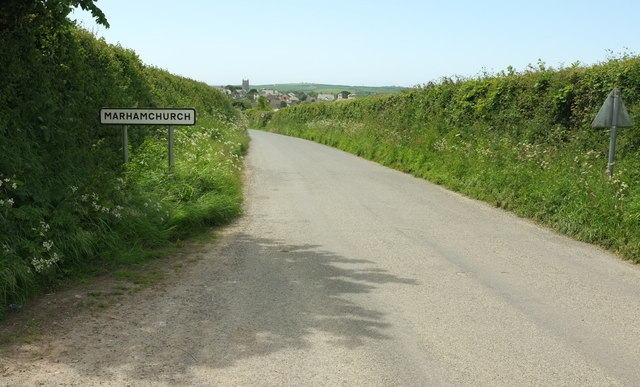
Image: © Derek Harper Taken: 31 May 2016
Down Hobbacott Lane past the village name sign, with the tower of St Marwenna's church visible.
Images are licensed for reuse under creativecommons.org/licenses/by-sa/2.0
Image Location
Latitude
50.80665
Longitude
-4.513348