Path and Former Railway Line
Introduction
The photograph on this page of Path and Former Railway Line by Jonathan Clitheroe as part of the Geograph project.
The Geograph project started in 2005 with the aim of publishing, organising and preserving representative images for every square kilometre of Great Britain, Ireland and the Isle of Man.

There are currently over 7.5m images from over 14,400 individuals and you can help contribute to the project by visiting https://www.geograph.org.uk
Path and Former Railway Line
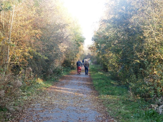
Image: © Jonathan Clitheroe Taken: 2 Nov 2016
Course of the former mineral line which served Yorkshire Main Colliery. The path is now a well-used recreational path despite it not being formally marked as such on the map.
Images are licensed for reuse under creativecommons.org/licenses/by-sa/2.0
Image Location
Latitude
53.489459
Longitude
-1.150379