Homelands Rd., Rhiwbina 1964
Introduction
The photograph on this page of Homelands Rd., Rhiwbina 1964 by Mike Dodman as part of the Geograph project.
The Geograph project started in 2005 with the aim of publishing, organising and preserving representative images for every square kilometre of Great Britain, Ireland and the Isle of Man.

There are currently over 7.5m images from over 14,400 individuals and you can help contribute to the project by visiting https://www.geograph.org.uk
Homelands Rd., Rhiwbina 1964
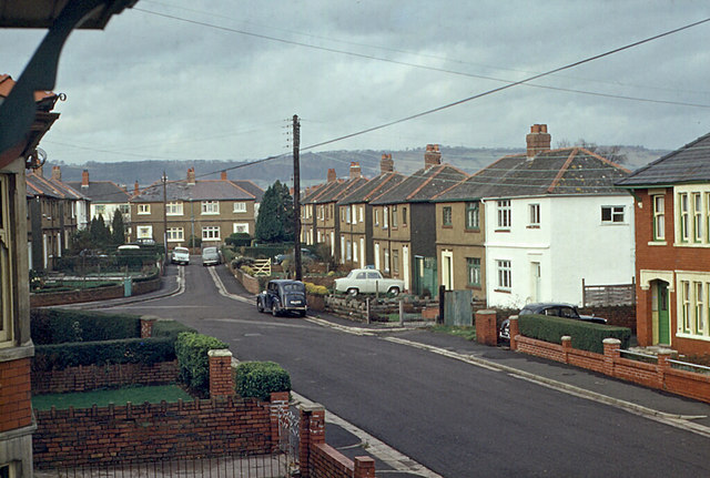
Image: © Mike Dodman Taken: Unknown
View from the bedroom window of my lodgings whilst studying at WCAT (Welsh College of Advanced Technology) in 1963-66. Note that the road into Thornbury Close did not exist then.
Images are licensed for reuse under creativecommons.org/licenses/by-sa/2.0
Image Location
Latitude
51.517478
Longitude
-3.206516