Madeley Mill
Introduction
The photograph on this page of Madeley Mill by Jonathan Hutchins as part of the Geograph project.
The Geograph project started in 2005 with the aim of publishing, organising and preserving representative images for every square kilometre of Great Britain, Ireland and the Isle of Man.

There are currently over 7.5m images from over 14,400 individuals and you can help contribute to the project by visiting https://www.geograph.org.uk
Madeley Mill
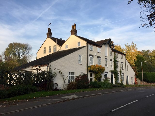
Image: © Jonathan Hutchins Taken: 31 Oct 2016
During its history the mill was used for grinding grain but prior to its closure, production was turned over to cheese making. It fell into disrepair before being developed and converted into apartments in the early 1990s saving it from proposed demolition by the local council.
Images are licensed for reuse under creativecommons.org/licenses/by-sa/2.0
Image Location
Latitude
53.001198
Longitude
-2.341635