Soho Loop, Birmingham Canal Navigations
Introduction
The photograph on this page of Soho Loop, Birmingham Canal Navigations by Stephen McKay as part of the Geograph project.
The Geograph project started in 2005 with the aim of publishing, organising and preserving representative images for every square kilometre of Great Britain, Ireland and the Isle of Man.

There are currently over 7.5m images from over 14,400 individuals and you can help contribute to the project by visiting https://www.geograph.org.uk
Soho Loop, Birmingham Canal Navigations
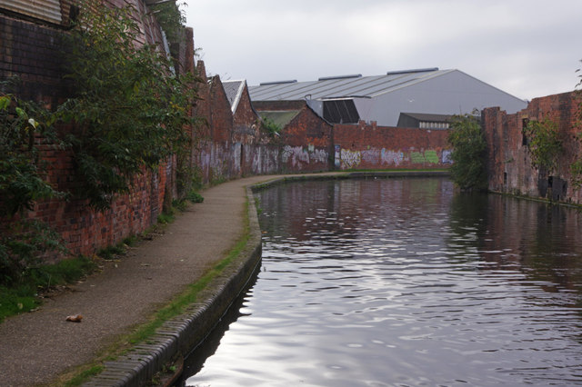
Image: © Stephen McKay Taken: 22 Oct 2016
The Soho or Winson Green Loop was part of Brindley's original contour canal connecting Birmingham and Wolverhampton. It was later by-passed by the straight line designed by Telford, leaving a quiet backwater now giving access to moorings at Hockley Port. This stretch south of Spring Hill bridge is very industrial in nature.
Images are licensed for reuse under creativecommons.org/licenses/by-sa/2.0
Image Location
Latitude
52.485577
Longitude
-1.927357