Windmill Road, Mistley Heath
Introduction
The photograph on this page of Windmill Road, Mistley Heath by Robin Webster as part of the Geograph project.
The Geograph project started in 2005 with the aim of publishing, organising and preserving representative images for every square kilometre of Great Britain, Ireland and the Isle of Man.

There are currently over 7.5m images from over 14,400 individuals and you can help contribute to the project by visiting https://www.geograph.org.uk
Windmill Road, Mistley Heath
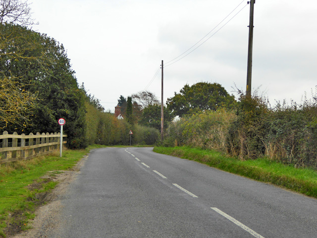
Image: © Robin Webster Taken: 30 Oct 2016
The Mistley, Thorpe and Walton Railway, abandoned before it was finished, was to have crossed the road just about on the bend ahead. Some maps suggest a bridge was built, road over railway, but there is no trace now.
Images are licensed for reuse under creativecommons.org/licenses/by-sa/2.0
Image Location
Latitude
51.93226
Longitude
1.095839