Naseby Battle Field.
Introduction
The photograph on this page of Naseby Battle Field. by Richard Williams as part of the Geograph project.
The Geograph project started in 2005 with the aim of publishing, organising and preserving representative images for every square kilometre of Great Britain, Ireland and the Isle of Man.

There are currently over 7.5m images from over 14,400 individuals and you can help contribute to the project by visiting https://www.geograph.org.uk
Naseby Battle Field.
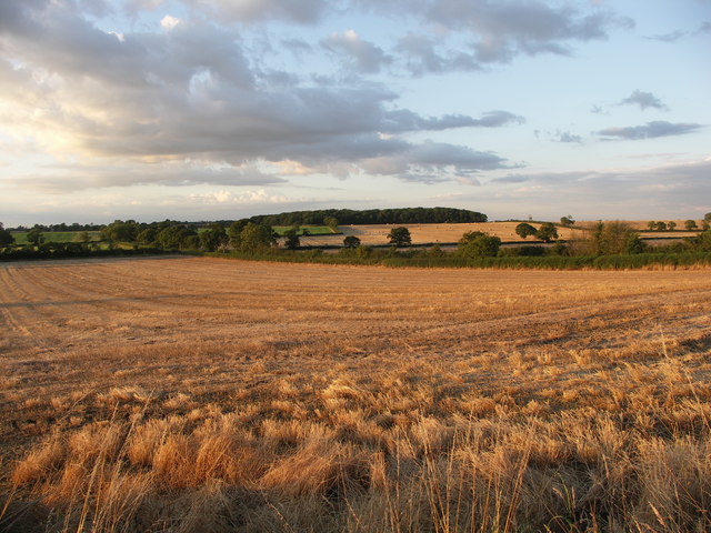
Image: © Richard Williams Taken: 6 Aug 2007
View across Naseby Battle Field from just north of the commemorative monument towards Long Hold spinney.
Images are licensed for reuse under creativecommons.org/licenses/by-sa/2.0
Image Location
Latitude
52.419877
Longitude
-0.988891