Former public house on London Road (A50)
Introduction
The photograph on this page of Former public house on London Road (A50) by JThomas as part of the Geograph project.
The Geograph project started in 2005 with the aim of publishing, organising and preserving representative images for every square kilometre of Great Britain, Ireland and the Isle of Man.

There are currently over 7.5m images from over 14,400 individuals and you can help contribute to the project by visiting https://www.geograph.org.uk
Former public house on London Road (A50)
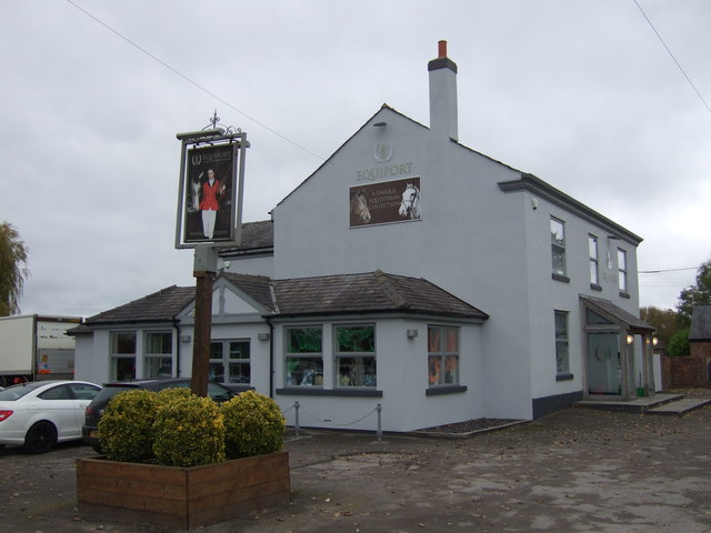
Image: © JThomas Taken: 29 Oct 2016
The former Drovers Arms - now an equine shop. See Image] for when it was still a pub.
Images are licensed for reuse under creativecommons.org/licenses/by-sa/2.0
Image Location
Latitude
53.25101
Longitude
-2.369402