Lansdowne Course
Introduction
The photograph on this page of Lansdowne Course by Richard Webb as part of the Geograph project.
The Geograph project started in 2005 with the aim of publishing, organising and preserving representative images for every square kilometre of Great Britain, Ireland and the Isle of Man.

There are currently over 7.5m images from over 14,400 individuals and you can help contribute to the project by visiting https://www.geograph.org.uk
Lansdowne Course
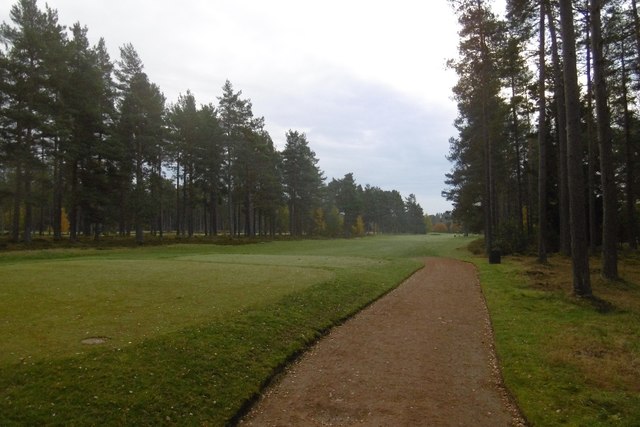
Image: © Richard Webb Taken: 30 Oct 2016
One of the Blairgowrie Golf Club courses set in woodland south of the town. This is taken from near the 2nd tee.
Images are licensed for reuse under creativecommons.org/licenses/by-sa/2.0
Image Location
Latitude
56.5705
Longitude
-3.327494