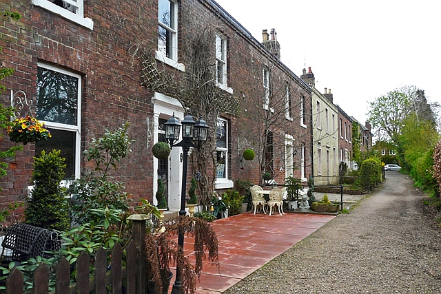
Etterby Terrace
Introduction
The photograph on this page of Etterby Terrace by Rose and Trev Clough as part of the Geograph project.
The Geograph project started in 2005 with the aim of publishing, organising and preserving representative images for every square kilometre of Great Britain, Ireland and the Isle of Man.
There are currently over 7.5m images from over 14,400 individuals and you can help contribute to the project by visiting https://www.geograph.org.uk

Image: © Rose and Trev Clough Taken: 27 Apr 2016
These houses were flooded on 5th December 2015 (along with more than 2000 other properties in Carlisle), and were undergoing restoration when this picture was taken. The first flood water here came from Gosling Sike, a stream which is culverted underground and flows into the River Eden nearby. A few hours later the situation worsened when the Eden itself overtopped a flood wall near the end of the street (photo http://www.geograph.org.uk/photo/5174219 ).
Image Location


