Community Reach, Shady Grove Road
Introduction
The photograph on this page of Community Reach, Shady Grove Road by Rose and Trev Clough as part of the Geograph project.
The Geograph project started in 2005 with the aim of publishing, organising and preserving representative images for every square kilometre of Great Britain, Ireland and the Isle of Man.

There are currently over 7.5m images from over 14,400 individuals and you can help contribute to the project by visiting https://www.geograph.org.uk
Community Reach, Shady Grove Road
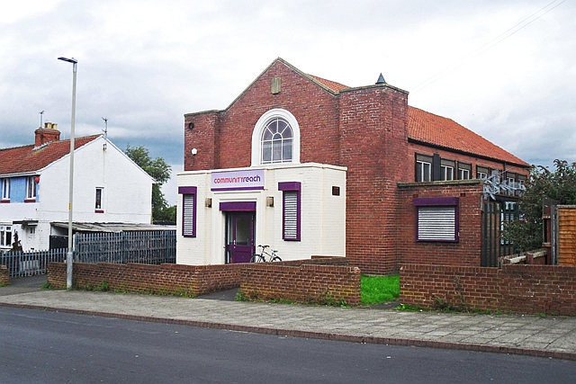
Image: © Rose and Trev Clough Taken: 2 Sep 2015
This building used to be called Raffles Community Church (as seen on Google Street View, 2012 https://goo.gl/maps/LGeNfrnLpBp ). Now run by the charity Community Reach http://www.communityreach.org , who have opened the Noah's Ark soft play centre here. Marked on 1967 OS map as Salvation Army Hall.
Images are licensed for reuse under creativecommons.org/licenses/by-sa/2.0
Image Location
Latitude
54.890567
Longitude
-2.966865