Holton Lee, path
Introduction
The photograph on this page of Holton Lee, path by Mike Faherty as part of the Geograph project.
The Geograph project started in 2005 with the aim of publishing, organising and preserving representative images for every square kilometre of Great Britain, Ireland and the Isle of Man.

There are currently over 7.5m images from over 14,400 individuals and you can help contribute to the project by visiting https://www.geograph.org.uk
Holton Lee, path
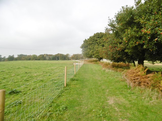
Image: © Mike Faherty Taken: 30 Oct 2016
Between grazing fields, from the viewing platform back to the farmhouse; a good berry harvest: http://www.holtonlee.org/
Images are licensed for reuse under creativecommons.org/licenses/by-sa/2.0
Image Location


Leaflet Map data © OpenStreetMap
Latitude
50.718974
Longitude
-2.054484