Arethusa Road, Rochester
Introduction
The photograph on this page of Arethusa Road, Rochester by Marathon as part of the Geograph project.
The Geograph project started in 2005 with the aim of publishing, organising and preserving representative images for every square kilometre of Great Britain, Ireland and the Isle of Man.

There are currently over 7.5m images from over 14,400 individuals and you can help contribute to the project by visiting https://www.geograph.org.uk
Arethusa Road, Rochester
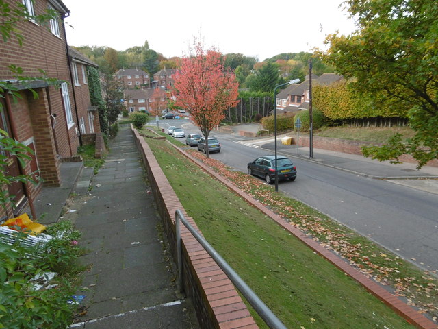
Image: © Marathon Taken: 27 Oct 2016
To the south of Rochester there are a number of fairly steep-sided valleys running north-south. This looks down Arethusa Road to The Tideway with Maidstone Road at the top of the hill on the far side.
Images are licensed for reuse under creativecommons.org/licenses/by-sa/2.0
Image Location
Latitude
51.363481
Longitude
0.50044