Britannia Road, Worcester
Introduction
The photograph on this page of Britannia Road, Worcester by Chris Allen as part of the Geograph project.
The Geograph project started in 2005 with the aim of publishing, organising and preserving representative images for every square kilometre of Great Britain, Ireland and the Isle of Man.

There are currently over 7.5m images from over 14,400 individuals and you can help contribute to the project by visiting https://www.geograph.org.uk
Britannia Road, Worcester
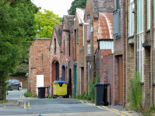
Image: © Chris Allen Taken: 17 Jul 2016
The backs of businesses that face onto The Tything on the edge of the City centre.
Images are licensed for reuse under creativecommons.org/licenses/by-sa/2.0
Image Location


Leaflet Map data © OpenStreetMap
Latitude
52.19752
Longitude
-2.224388