All Saints, Weston
Introduction
The photograph on this page of All Saints, Weston by Bill Boaden as part of the Geograph project.
The Geograph project started in 2005 with the aim of publishing, organising and preserving representative images for every square kilometre of Great Britain, Ireland and the Isle of Man.

There are currently over 7.5m images from over 14,400 individuals and you can help contribute to the project by visiting https://www.geograph.org.uk
All Saints, Weston
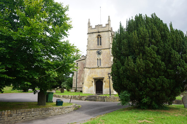
Image: © Bill Boaden Taken: 21 Jul 2016
The tower is the only maediaeval part of the church, with all the rest being rebuilt from the 1830s onwards.
Images are licensed for reuse under creativecommons.org/licenses/by-sa/2.0
Image Location
Latitude
51.395541
Longitude
-2.388462