Swine Market name sign, Nantwich
Introduction
The photograph on this page of Swine Market name sign, Nantwich by Jaggery as part of the Geograph project.
The Geograph project started in 2005 with the aim of publishing, organising and preserving representative images for every square kilometre of Great Britain, Ireland and the Isle of Man.

There are currently over 7.5m images from over 14,400 individuals and you can help contribute to the project by visiting https://www.geograph.org.uk
Swine Market name sign, Nantwich
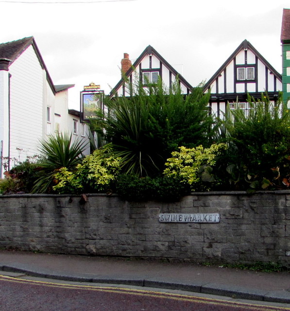
Image: © Jaggery Taken: 26 Oct 2016
For about 60 metres, from High Street in the southwest to Beam Street in the northeast, the road named Swine Market is parallel with the road named Oat Market, behind the wall. The Talbot pub http://www.geograph.org.uk/photo/5172446 in Oat Market is in the background.
Images are licensed for reuse under creativecommons.org/licenses/by-sa/2.0
Image Location
Latitude
53.067687
Longitude
-2.523187