Bassingfield Lane approaching Bassingfield
Introduction
The photograph on this page of Bassingfield Lane approaching Bassingfield by Richard Vince as part of the Geograph project.
The Geograph project started in 2005 with the aim of publishing, organising and preserving representative images for every square kilometre of Great Britain, Ireland and the Isle of Man.

There are currently over 7.5m images from over 14,400 individuals and you can help contribute to the project by visiting https://www.geograph.org.uk
Bassingfield Lane approaching Bassingfield
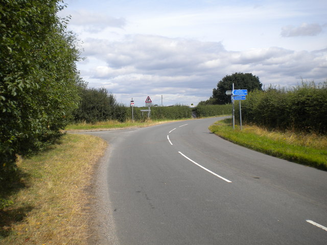
Image: © Richard Vince Taken: 13 Aug 2016
The road on the left was once the continuation of Bassingfield Lane, which was severed by the construction of Lings Bar Road. The road on which the photographer stands is a new road that parallels Lings Bar Road to reach Tollerton Road.
Images are licensed for reuse under creativecommons.org/licenses/by-sa/2.0
Image Location
Latitude
52.927702
Longitude
-1.097895