Staffordshire & Worcestershire Canal east of Tettenhall
Introduction
The photograph on this page of Staffordshire & Worcestershire Canal east of Tettenhall by Richard Vince as part of the Geograph project.
The Geograph project started in 2005 with the aim of publishing, organising and preserving representative images for every square kilometre of Great Britain, Ireland and the Isle of Man.

There are currently over 7.5m images from over 14,400 individuals and you can help contribute to the project by visiting https://www.geograph.org.uk
Staffordshire & Worcestershire Canal east of Tettenhall
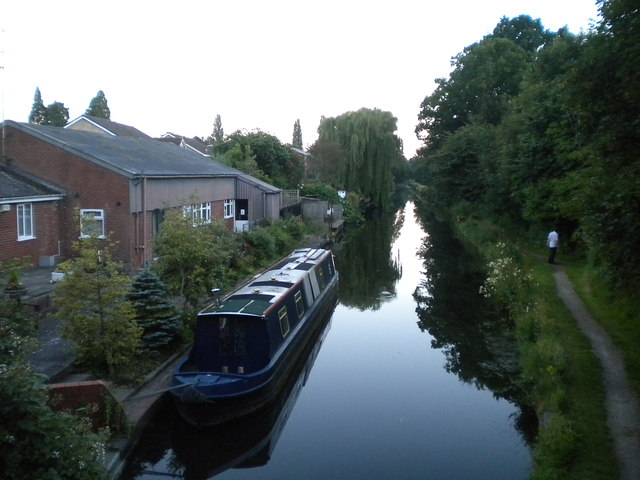
Image: © Richard Vince Taken: 18 Jul 2016
Seen from Tettenhall Old Bridge. This area of Wolverhampton has become known as Newbridge, after the bridge that now carries the A41 across the Staffordshire & Worcestershire Canal just east of Tettenhall. However, the old bridge still stands, though the road across it is no longer a through one.
Images are licensed for reuse under creativecommons.org/licenses/by-sa/2.0
Image Location
Latitude
52.596424
Longitude
-2.161022