Mitchley Avenue, Sanderstead (6)
Introduction
The photograph on this page of Mitchley Avenue, Sanderstead (6) by Dr Neil Clifton as part of the Geograph project.
The Geograph project started in 2005 with the aim of publishing, organising and preserving representative images for every square kilometre of Great Britain, Ireland and the Isle of Man.

There are currently over 7.5m images from over 14,400 individuals and you can help contribute to the project by visiting https://www.geograph.org.uk
Mitchley Avenue, Sanderstead (6)
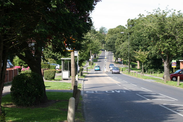
Image: © Dr Neil Clifton Taken: 3 Aug 2007
Looking westward from the junction with Copthorne Rise, Mitchley Avenue (the A2022) dips and then rises again to where it becomes Downs Court Road and starts the steep descent to Purley.
Images are licensed for reuse under creativecommons.org/licenses/by-sa/2.0
Image Location
Latitude
51.330136
Longitude
-0.09324