High Street bus stops, Tywyn
Introduction
The photograph on this page of High Street bus stops, Tywyn by Jaggery as part of the Geograph project.
The Geograph project started in 2005 with the aim of publishing, organising and preserving representative images for every square kilometre of Great Britain, Ireland and the Isle of Man.

There are currently over 7.5m images from over 14,400 individuals and you can help contribute to the project by visiting https://www.geograph.org.uk
High Street bus stops, Tywyn
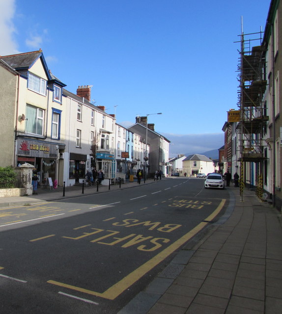
Image: © Jaggery Taken: 22 Oct 2016
Painted on both sides of the High Street surface are yellow bilingual (Welsh/English) SAFLE BWS/BUS STOP. High Street Tywyn is part of the route of the A493.
Images are licensed for reuse under creativecommons.org/licenses/by-sa/2.0
Image Location


Leaflet Map data © OpenStreetMap
Latitude
52.586474
Longitude
-4.088435