Low House signal box and level crossing
Introduction
The photograph on this page of Low House signal box and level crossing by Oliver Dixon as part of the Geograph project.
The Geograph project started in 2005 with the aim of publishing, organising and preserving representative images for every square kilometre of Great Britain, Ireland and the Isle of Man.

There are currently over 7.5m images from over 14,400 individuals and you can help contribute to the project by visiting https://www.geograph.org.uk
Low House signal box and level crossing
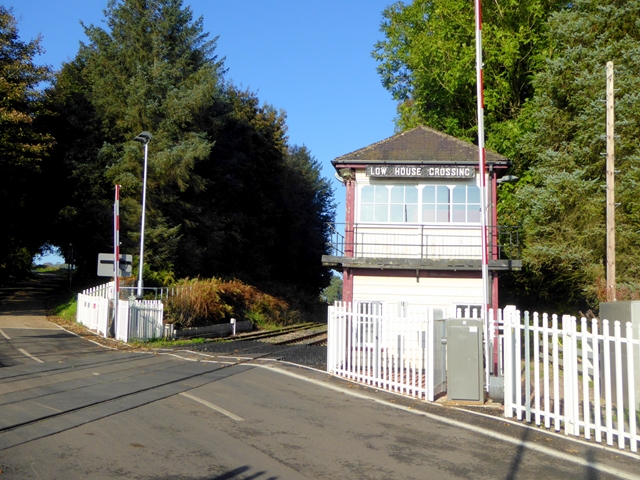
Image: © Oliver Dixon Taken: 25 Oct 2016
On the Settle and Carlisle line. The signal box dates from about 1900.
Images are licensed for reuse under creativecommons.org/licenses/by-sa/2.0
Image Location
Latitude
54.831138
Longitude
-2.769449