Gateway to the foothills
Introduction
The photograph on this page of Gateway to the foothills by Neil Owen as part of the Geograph project.
The Geograph project started in 2005 with the aim of publishing, organising and preserving representative images for every square kilometre of Great Britain, Ireland and the Isle of Man.

There are currently over 7.5m images from over 14,400 individuals and you can help contribute to the project by visiting https://www.geograph.org.uk
Gateway to the foothills
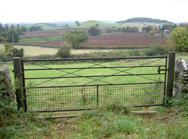
Image: © Neil Owen Taken: 27 Oct 2016
A simple field gate has a broad panorama of the Somerset Levels and the Mendip's scattered hills.
Images are licensed for reuse under creativecommons.org/licenses/by-sa/2.0
Image Location
Latitude
51.234061
Longitude
-2.711089