Cycle path above Gibshill
Introduction
The photograph on this page of Cycle path above Gibshill by Lairich Rig as part of the Geograph project.
The Geograph project started in 2005 with the aim of publishing, organising and preserving representative images for every square kilometre of Great Britain, Ireland and the Isle of Man.

There are currently over 7.5m images from over 14,400 individuals and you can help contribute to the project by visiting https://www.geograph.org.uk
Cycle path above Gibshill
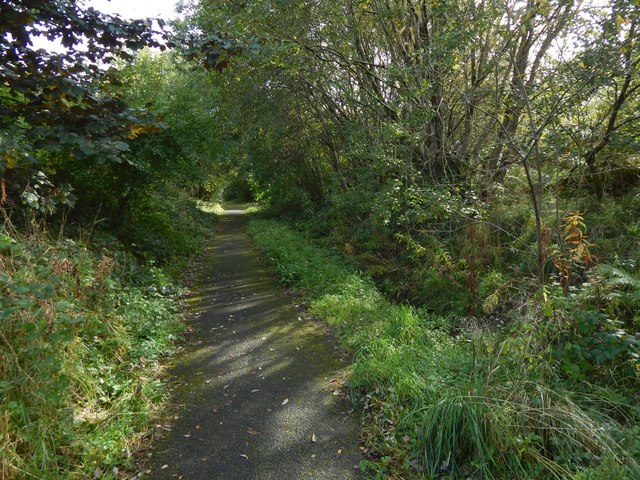
Image: © Lairich Rig Taken: 3 Oct 2016
Beyond the line of trees on the right are the slopes of Knocknairs Hill: Image
Images are licensed for reuse under creativecommons.org/licenses/by-sa/2.0
Image Location
Latitude
55.932104
Longitude
-4.704939