Railway walk north of Windmill Lane bridge
Introduction
The photograph on this page of Railway walk north of Windmill Lane bridge by Richard Vince as part of the Geograph project.
The Geograph project started in 2005 with the aim of publishing, organising and preserving representative images for every square kilometre of Great Britain, Ireland and the Isle of Man.

There are currently over 7.5m images from over 14,400 individuals and you can help contribute to the project by visiting https://www.geograph.org.uk
Railway walk north of Windmill Lane bridge
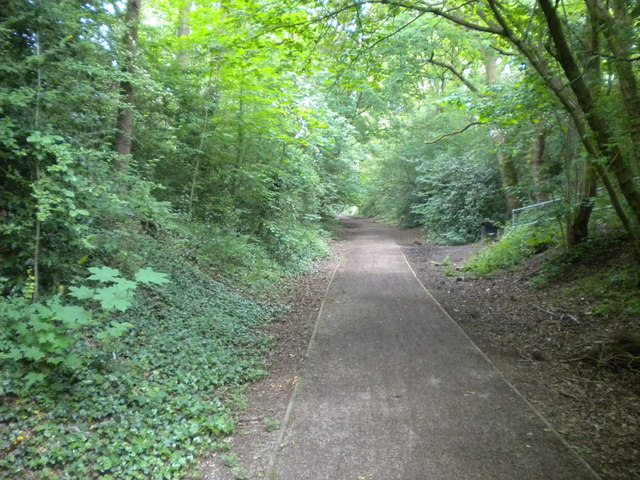
Image: © Richard Vince Taken: 28 May 2016
Most of the trackbed of the relatively short lived (1925-65) railway between Oxley and Pensnett via Wombourne has been converted into a footpath. Part of it has been designated a linear park, and provides a pleasantly quiet route through the western suburbs of Wolverhampton. This section passes between Castlecroft estate and Finchfield.
Images are licensed for reuse under creativecommons.org/licenses/by-sa/2.0
Image Location
Latitude
52.577244
Longitude
-2.182939