
Bullhassocks Pumping Station, near Westwoodside
Introduction
The photograph on this page of Bullhassocks Pumping Station, near Westwoodside by Paul Harrop as part of the Geograph project.
The Geograph project started in 2005 with the aim of publishing, organising and preserving representative images for every square kilometre of Great Britain, Ireland and the Isle of Man.

There are currently over 7.5m images from over 14,400 individuals and you can help contribute to the project by visiting https://www.geograph.org.uk
Bullhassocks Pumping Station, near Westwoodside
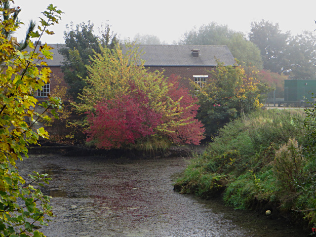
Image: © Paul Harrop Taken: 25 Oct 2016
The pumping station, operated by the Environment Agency, is at the start of the South Engine Drain, and is on the site of a steam powered station which was later upgraded to a diesel pump, then to two electric pumps enabling it to discharge 330 tons of water per minute. It was originally designed to handle water from the South Idle drains, but prior to 1970 also had to pump water from the Folly Drain.
Images are licensed for reuse under creativecommons.org/licenses/by-sa/2.0
Image Location

Latitude
53.507174
Longitude
-0.897915