Trees on the left mark the Lord Carlisle's Railway
Introduction
The photograph on this page of Trees on the left mark the Lord Carlisle's Railway by Matthew Hatton as part of the Geograph project.
The Geograph project started in 2005 with the aim of publishing, organising and preserving representative images for every square kilometre of Great Britain, Ireland and the Isle of Man.

There are currently over 7.5m images from over 14,400 individuals and you can help contribute to the project by visiting https://www.geograph.org.uk
Trees on the left mark the Lord Carlisle's Railway
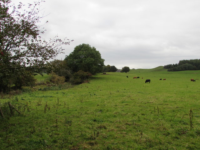
Image: © Matthew Hatton Taken: 7 Oct 2016
The Brampton and Hartleyburn Railway, first pioneered by the Lord of Carlisle's agent James Thompson, used this line to reach the collieries and smelter works at Tindale and limestone quarries at Foresthead and Clowsgill Limeworks.
Images are licensed for reuse under creativecommons.org/licenses/by-sa/2.0
Image Location
Latitude
54.931911
Longitude
-2.673053