Kings Weston Rhyne
Introduction
The photograph on this page of Kings Weston Rhyne by Derek Harper as part of the Geograph project.
The Geograph project started in 2005 with the aim of publishing, organising and preserving representative images for every square kilometre of Great Britain, Ireland and the Isle of Man.

There are currently over 7.5m images from over 14,400 individuals and you can help contribute to the project by visiting https://www.geograph.org.uk
Kings Weston Rhyne
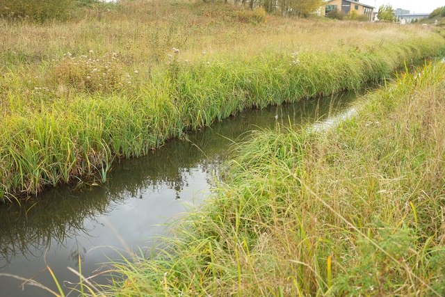
Image: © Derek Harper Taken: 19 Oct 2016
Looking in the other direction along the rhyne from the same spot as Image The rhyne fairly quickly crosses into Image
Images are licensed for reuse under creativecommons.org/licenses/by-sa/2.0
Image Location


Leaflet Map data © OpenStreetMap
Latitude
51.510212
Longitude
-2.678637