Path between bungalows and the village hall, English Bicknor
Introduction
The photograph on this page of Path between bungalows and the village hall, English Bicknor by Jaggery as part of the Geograph project.
The Geograph project started in 2005 with the aim of publishing, organising and preserving representative images for every square kilometre of Great Britain, Ireland and the Isle of Man.

There are currently over 7.5m images from over 14,400 individuals and you can help contribute to the project by visiting https://www.geograph.org.uk
Path between bungalows and the village hall, English Bicknor
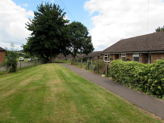
Image: © Jaggery Taken: 31 Jul 2016
An edge of the village hall http://www.geograph.org.uk/photo/5168088 is on the left.
Images are licensed for reuse under creativecommons.org/licenses/by-sa/2.0
Image Location
Latitude
51.832465
Longitude
-2.612507