Wenall Bay
Introduction
The photograph on this page of Wenall Bay by Gordon Hatton as part of the Geograph project.
The Geograph project started in 2005 with the aim of publishing, organising and preserving representative images for every square kilometre of Great Britain, Ireland and the Isle of Man.

There are currently over 7.5m images from over 14,400 individuals and you can help contribute to the project by visiting https://www.geograph.org.uk
Wenall Bay
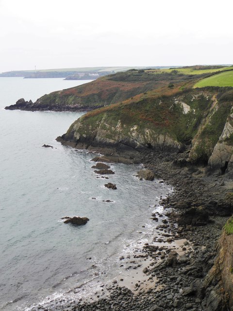
Image: © Gordon Hatton Taken: 7 Oct 2016
Looking WSW from the coast path across Wenall Bay to the small headland of Furzy Point, beyond which is the larger Watch House Bay.
Images are licensed for reuse under creativecommons.org/licenses/by-sa/2.0
Image Location
Latitude
51.715971
Longitude
-5.131909