Clyde Arc from Finnieston Street
Introduction
The photograph on this page of Clyde Arc from Finnieston Street by Thomas Nugent as part of the Geograph project.
The Geograph project started in 2005 with the aim of publishing, organising and preserving representative images for every square kilometre of Great Britain, Ireland and the Isle of Man.

There are currently over 7.5m images from over 14,400 individuals and you can help contribute to the project by visiting https://www.geograph.org.uk
Clyde Arc from Finnieston Street
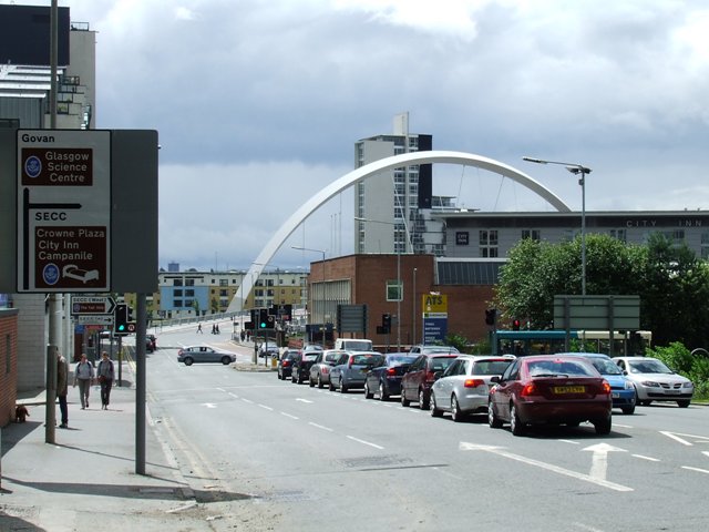
Image: © Thomas Nugent Taken: 14 Jul 2007
This picture gives an idea of the scale of the Clyde Arc in comparison with nearby buildings.
Images are licensed for reuse under creativecommons.org/licenses/by-sa/2.0
Image Location
Latitude
55.85871
Longitude
-4.281616