Field at Norton
Introduction
The photograph on this page of Field at Norton by Derek Harper as part of the Geograph project.
The Geograph project started in 2005 with the aim of publishing, organising and preserving representative images for every square kilometre of Great Britain, Ireland and the Isle of Man.

There are currently over 7.5m images from over 14,400 individuals and you can help contribute to the project by visiting https://www.geograph.org.uk
Field at Norton
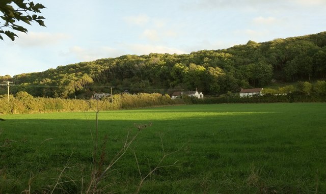
Image: © Derek Harper Taken: 18 Oct 2016
A view from Norton Lane, with houses along Kewstoke Road at the foot of Worle Hill.
Images are licensed for reuse under creativecommons.org/licenses/by-sa/2.0
Image Location
Latitude
51.366774
Longitude
-2.941541