Tuckton: house wall abutting footpath I13
Introduction
The photograph on this page of Tuckton: house wall abutting footpath I13 by Chris Downer as part of the Geograph project.
The Geograph project started in 2005 with the aim of publishing, organising and preserving representative images for every square kilometre of Great Britain, Ireland and the Isle of Man.

There are currently over 7.5m images from over 14,400 individuals and you can help contribute to the project by visiting https://www.geograph.org.uk
Tuckton: house wall abutting footpath I13
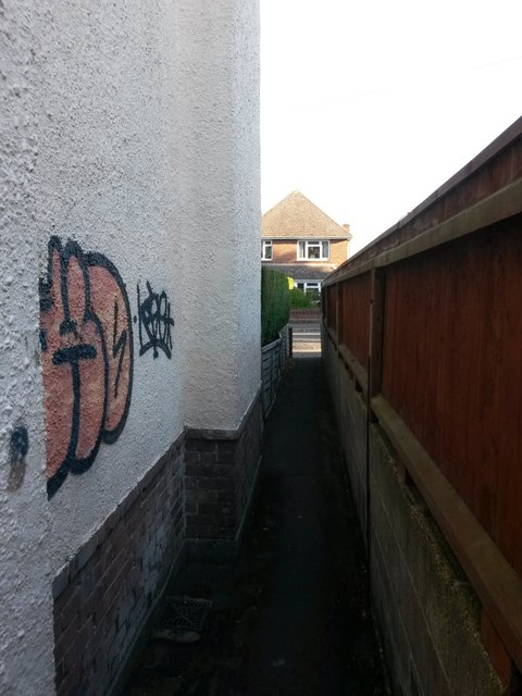
Image: © Chris Downer Taken: 22 Oct 2016
This surprisingly narrow public footpath leads from the dead end of Southlands Avenue (behind us) to Sunnylands Avenue, and here runs directly alongside a house built at the edge of its grounds, with no garden separating it. See: Image for the next view on the path behind us, with links to further photos along the route, and then along another path heading through to Belle Vue Road; and Image for the view towards us from across the road, with links to photos on along a continuing path through to Hengistbury Road.
Images are licensed for reuse under creativecommons.org/licenses/by-sa/2.0
Image Location
Latitude
50.725095
Longitude
-1.791265